


Salient Features:
NATIONAL GEOSPATIAL POLICY, 2022 by MINISTRY OF SCIENCE AND TECHNOLOGY, GOVERNMENT OF INDIA
Date: 28th December, 2022
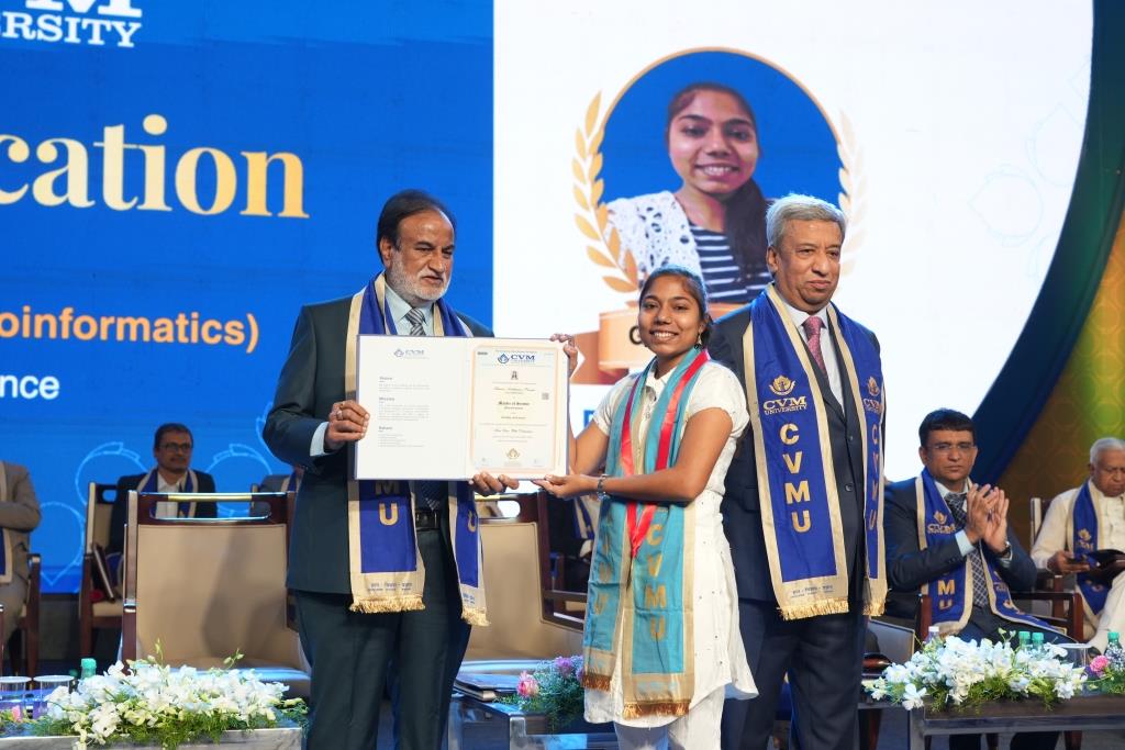
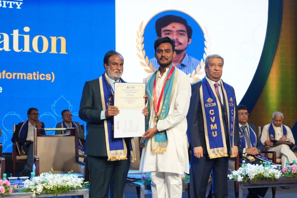
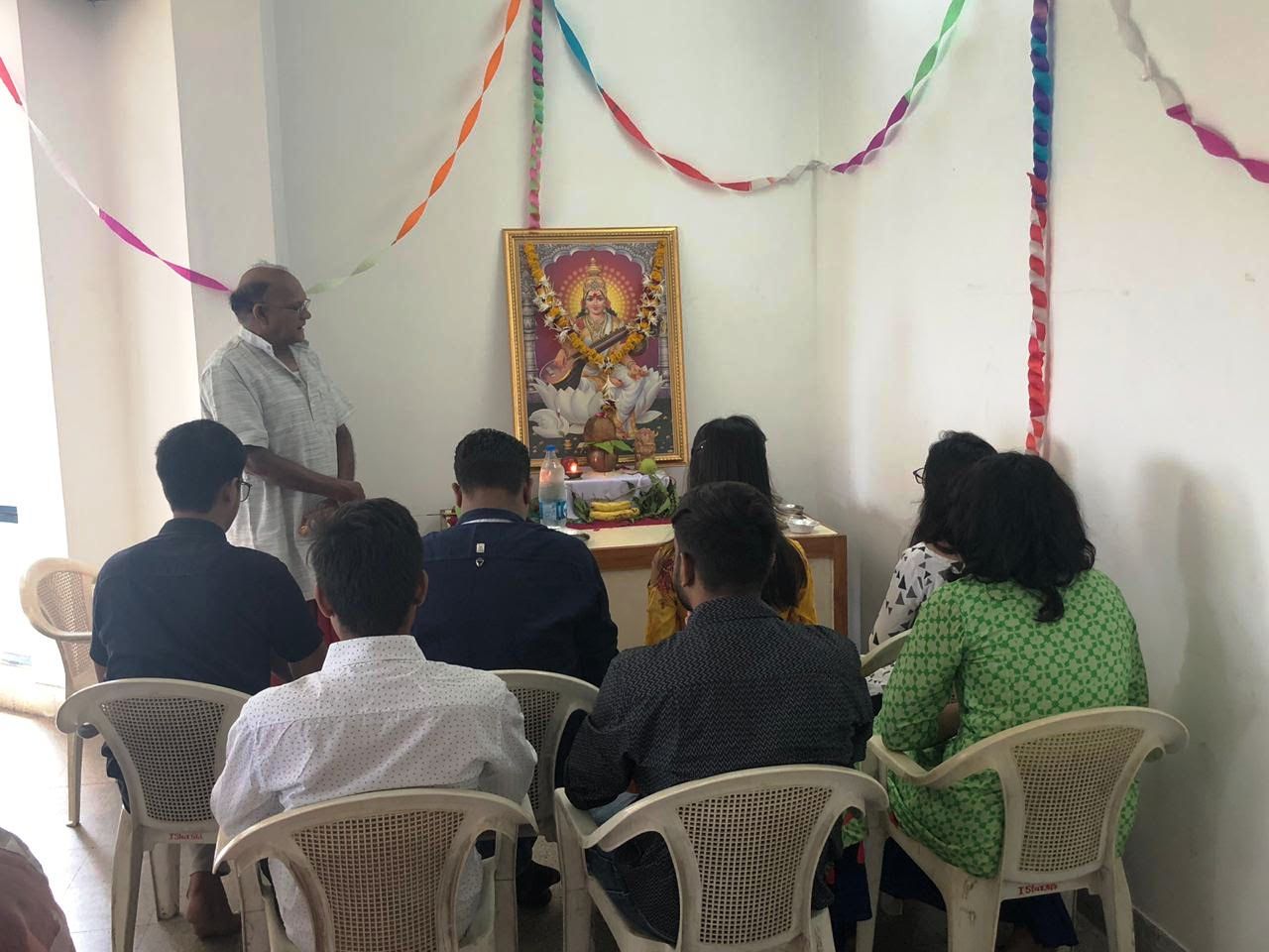
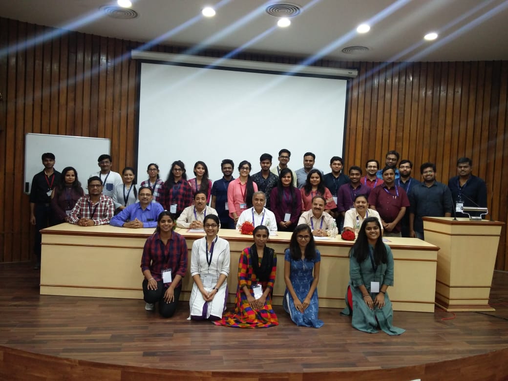
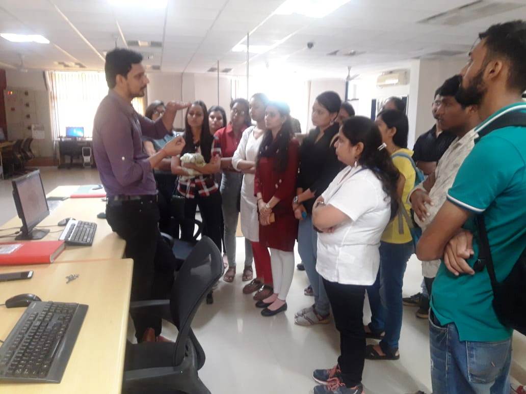
P.G Department in Geoinformatics was establishment in the year 2016 by ISTAR.
Unique PG course in Gujarat
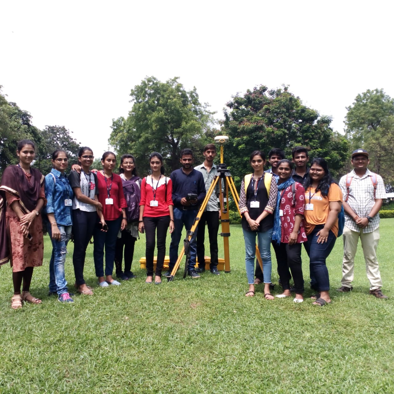
Geoinformatics is essentially dealing with the management and processing of satellite & drone spatial data, but also includes map visualization, primary and secondary data collection, operation & procedures, and geographic analysis. The very broad input of the bachelor’s degree program allows us to accept students with various backgrounds.
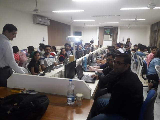
In this programme, it is Blend of multidisciplinary aspects of Remote Sensing, Digital Image Processing, GPS, Android, Geoinformatics, Geo Webservers etc. Itis an emerging field and demand for Geoinformatics professionals is increasing by the day due to its application potential in several fields such as business applications, Smart Cities, urban and rural planning, G-Governance, natural resources management, environmental monitoring and management, terrain mapping and analysis, natural hazards and disaster management, traffic and transport, solid waste management, site selection, geospatial education, etc.
Application Areas: E- Governance, Environment & Climate change, Urban Infrastructure Development & Planning, Tourism, Irrigation, Forestry, Agriculture, Geosciences, Disaster Management, Crowd Sourcing, Database Management, WebGIS etc.
Career Prospects
Postgraduates of the Masters’ degree program in Geoinformatics can work in all areas where geodata is surveyed, collected, analyzed, visualized and interpreted by help of modern information technology and digital media: from automobile industry to development of appliances and electronics industry, software development, construction businesses, engineering offices, public administration and agencies to international air and space organisations. Not only is a direct start in a professional career possible, students with excellent accomplishments may also choose to do a doctorate which opens the possibility for a future career in research and teaching.
ISRO – IIRS, NRSC, Govt. Ministries, Survey of India, R & D Organizations, Disaster Management Organization, NGOs, Academia, Muncipal Corporations
GEO-ICT Solutions / Services Private Companies.
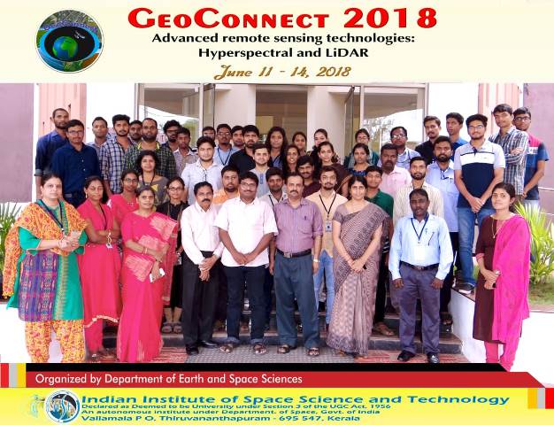
P.G Department has linkages with renowned institutions and companies like ISRO-IIRS and e-learning courses, ISRO-SAC, C-DAC, MPCOST, Compusense Automation, Scanpoint Geomatics Ltd, TGIS Lab, Here Maps, Theodesh Consultants, etc. and technical support from the Indian Society of Geomatics, Ahmedabad.
Intake
M.Sc. Geoinformatics -30 Students
Post Graduate Diploma in Geoinformatics- 15 Students
Duration
M.Sc. Geoinformatics –(02 year / 04 Semester)
Post Graduate Diploma in Geoinformatics- (01 year / 02 Semester)
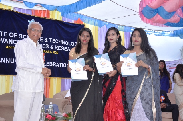
Student's Placement & Internships Organisations